
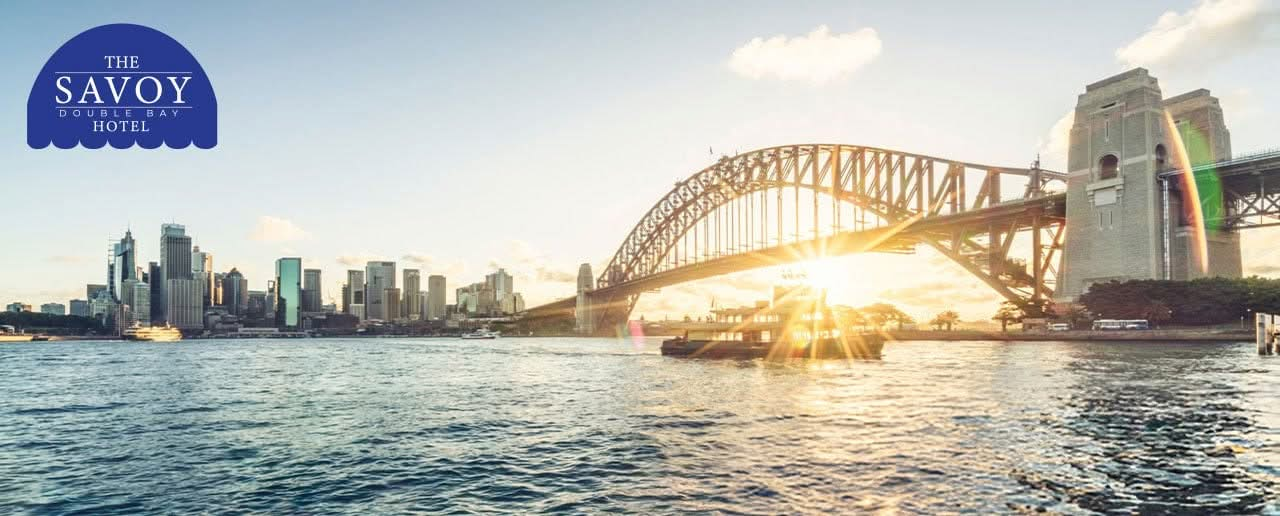
The best harbour sunsets on Sydney’s eastern side are public. For an uninterrupted view, NSW National Parks points you to Steele Point, at the end of the Hermitage Foreshore track in Vaucluse, with Nielsen Park beside it for a picnic. The national park is open until sunset. Closer to the hotel, the lawns and kiosk above Murray Rose Pool look out across Double Bay. McKell Park at Darling Point faces the Harbour Bridge, but it closes at 7:30 pm, so from about mid-November to early March it shuts before the sun goes down. If you’re willing to cross the water, Bradleys Head on the north shore puts the sun down behind the whole city skyline.
Pick a lookout and a month on the map
sun sets within 5° of the Bridge’s directionMcKell Park shut by sunset
By our calculation from map data, Murray Rose Pool is about 0.9 km on foot from the hotel and McKell Park about 1.4 km. Nielsen Park and Steele Point are a longer walk, about 5.6 km by Rose Bay and the Hermitage Foreshore track. Bradleys Head is across the water, with no walking route from Double Bay. Here’s what each one offers, and how to time it.
Sunset map
Where the sun goes down, from our front door
Pick a lookout and a month. The map shows the walk from the hotel entrance on Knox Street, drawn to scale, and the line the sun sets along from that spot.
The numbers behind the map
| Lookout | Walk from the Savoy | Harbour Bridge bearing | Sun sets nearest the Bridge line | Open |
|---|---|---|---|---|
| McKell Park | 1.4 km | 300° | June and July (within 5°) | 7:00 am to 7:30 pm, so shut by sunset from about mid-November to early March |
| Murray Rose Pool and Blackburn Gardens | 0.9 km | 302° | June (within 5°) | No hours listed by the council |
| Nielsen Park | 5.6 km | 268° | March and September (within 5°) | Sunrise to sunset |
| Steele Point | 5.7 km | 267° | March (within 5°) | Sunrise to sunset |
| Bradleys Head | Across the water | 267° | March (within 5°) | Sunrise to sunset |
| Month | Bearing | Direction | About |
|---|---|---|---|
| January | 244° | west-south-west | 8:08 pm AEDT |
| February | 254° | 16° south of west | 7:48 pm AEDT |
| March | 267° | 3° south of west | 7:13 pm AEDT |
| April | 281° | 11° north of west | 5:32 pm AEST |
| May | 292° | 22° north of west | 5:02 pm AEST |
| June | 298° | west-north-west | 4:52 pm AEST |
| July | 296° | west-north-west | 5:03 pm AEST |
| August | 286° | 16° north of west | 5:25 pm AEST |
| September | 273° | 3° north of west | 5:46 pm AEST |
| October | 259° | 11° south of west | 7:07 pm AEDT |
| November | 247° | west-south-west | 7:35 pm AEDT |
| December | 241° | west-south-west | 8:01 pm AEDT |
Map: © OpenStreetMap contributors, data fetched 22 October 2026. Walking distances are our calculation: the shortest route along mapped streets, footpaths and steps from the hotel entrance, measured along the route. Sunset direction and time are our calculation from NOAA’s solar position equations, for the 15th of each month in Double Bay, with daylight saving applied, rounded down to the minute. Opening hours are from Woollahra Council and NSW National Parks. Bridge bearings are our calculation from the same map data. Both give direction only: from some spots, headlands, trees and buildings hide the Bridge, or the sun before it reaches the horizon.
Why the east side works for a harbour sunset
The sun sets in the west, and from the eastern suburbs the city and the Harbour Bridge sit to the west across the water. That puts the skyline between you and the sunset, so the towers turn to silhouettes and the water picks up the colour.
As we said in our guide to the Eastern Suburbs and the North Shore, the classic postcard view of the Opera House and Bridge together belongs to the North Shore. The eastern side gives you something different at dusk: open water, moored yachts and the city lighting up across the harbour.
Nielsen Park and Steele Point, Vaucluse
Track Hermitage Foreshore, 1.8 km one way, 30 min to 1 hr NSW National Parks
Open Sunrise to sunset NSW National Parks
Nielsen Park, sun on the 15th
Steele Point, sun on the 15th
sun sets within 5° of the Bridge’s direction
NSW National Parks calls Nielsen Park, in Sydney Harbour National Park, “quite possibly one of the best places in the city for a sunset picnic”. There are sheltered picnic areas, giant fig trees and plenty of grass, plus Shark Beach and The Nielsen for coffee and food.
For an uninterrupted sunset, National Parks suggests walking the Hermitage Foreshore track out to Steele Point. The track is 1.8 km one way, takes 30 minutes to an hour, and can be started at Nielsen Park or Bayview Hill Road. Along the way you’ll see Shark Island, the Harbour Bridge and the grounds of Strickland House.

- Good to know: Sydney Harbour National Park is open sunrise to sunset, and may close in poor weather or fire danger. Plan to start back as the light goes.
- On the water: National Parks notes you can hire a kayak or stand up paddleboard nearby in Rose Bay or Point Piper for a paddle before sunset. Make sure everyone can swim and wears a life jacket.
McKell Park, Darling Point
McKell Park sits on the shore of Sydney Harbour at Darling Point, and Woollahra Council describes its views as the Harbour Bridge to the west and Sydney Heads to the east. That westward line to the Bridge is what makes it a sunset spot.
Open 7:00 am to 7:30 pm Woollahra Council
Sun on the 15th, by month
sun sets within 5° of the Bridge’s directionpark shut by sunset
The park steps down to the water in grassed terraces, with manicured gardens, large mature trees and the heritage-listed Canonbury Cottage at its centre. It’s popular for wedding ceremonies, so on a weekend you may share it with one.

- Opening hours: Woollahra Council lists the park as open 7:00 am to 7:30 pm, and says it “is closed in the evenings except for New Year’s Eve celebrations”. From about mid-November to early March the sun sets after 7:30 pm, so the park is shut by sunset. The rest of the year, sunset comes before closing. Leave time to walk out by 7:30 pm.
- Getting there: Darling Point ferry wharf is at the bottom of the park.
- Good to know: public toilets and park benches. Dogs are prohibited at all times, and street parking is limited.
Murray Rose Pool and Blackburn Gardens, Double Bay
The closest option to Double Bay village is the harbour foreshore at 536 and 548 New South Head Road. Murray Rose Pool, formerly Redleaf Pool, is a council-run tidal swimming enclosure. Its kiosk has shaded seating and, in the council’s words, “a spectacular outlook across Double Bay”.
Open No hours listed Woollahra Council
Sun on the 15th, by month
sun sets within 5° of the Bridge’s direction
Next door, Blackburn Gardens is a restored heritage garden with manicured lawn, a sundial, a water feature and what the council calls “spectacular views of Sydney Harbour”. Bring a picnic and claim a spot on the grass as the light drops.

- Getting there: Blackburn Gardens is a 5- to 10-minute walk from Double Bay ferry wharf, and the pool has stair access from New South Head Road.
- Good to know: public toilets, park benches and picnic tables. Dogs are not allowed in Blackburn Gardens or at Murray Rose Pool.
Our 3-day Double Bay itinerary starts a morning here with a swim. Come back at the end of the day for the other half of the view.
Bradleys Head, across the harbour
Open Sunrise to sunset NSW National Parks
Sun on the 15th, by month
sun sets within 5° of the Bridge’s direction
If you’d like the full skyline with the sun behind it, cross to the north shore. National Parks says Bradleys Head is “arguably the best spot to watch the sun set behind the city skyline”, with views of the Opera House, the Harbour Bridge and Fort Denison.
The Bradleys Head amphitheatre is a grassy, easily reached spot to sit, and there’s a fishing platform and a small beach below. For a longer outing, the Bradleys Head to Chowder Bay walk runs 4 km one way and ends at Taronga Zoo. It’s part of the same national park, so the same sunrise to sunset hours apply.
How to plan your sunset
- Check the time. Sunset in Sydney changes a lot through the year. The map above gives a guide for the middle of each month. Look up the exact time for your date before you go.
- Arrive early. Give yourself time to walk in, find a spot and settle before the light starts to go.
- Check the hours. Sydney Harbour National Park closes at sunset and McKell Park at 7:30 pm, so plan your walk out.
- Pack light. A rug, a jumper for the breeze off the water, and water to drink. Take your rubbish with you.
Getting there from the Savoy
The Savoy sits on Knox Street in the middle of Double Bay village. Buses 324, 325, 326 and 327 stop within 100 metres of the hotel, and Edgecliff station is a 10- to 15-minute walk. Double Bay ferry wharf is a short stroll away. See our transport guide for more.
Watch the sun go down over the harbour, then head back into the village for dinner.